
Long Dale - Peak District Walk
Thursday 19th April 2007
With the promise of a sunny and warm day I opted for a shorter walk combining the dry dale of Long Dale with a new (to me) stretch of the High Peak Trail. My only concern was that my map showed the public footpath through Long Dale stopping before it reached the road from Friden but, as I thought there would be, there was a clearly signed path from the road to the dale. This is an excellent walk which would make a super summer evening stroll, although I'd reverse the route to avoid walking along the lane as the light was fading.
Start: Minninglow car park (SK 1943 5814)
Route: Minninglow car park - High Peak Trail - Friden - Bolderstone Plantation - Long Dale - Mouldridge Lane - Minninglow car park
Distance: 6.5 miles Ascent: 170 metres Time Taken: 2hrs 30 mins
Weather: Blue sky with a cool strong breeze but warm out of the wind.
Pub Visited: None Ale Drunk: None
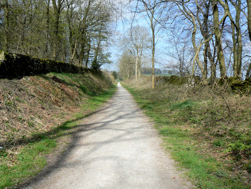
The walk starts by following the High Peak Trail along one of its flatter sections.
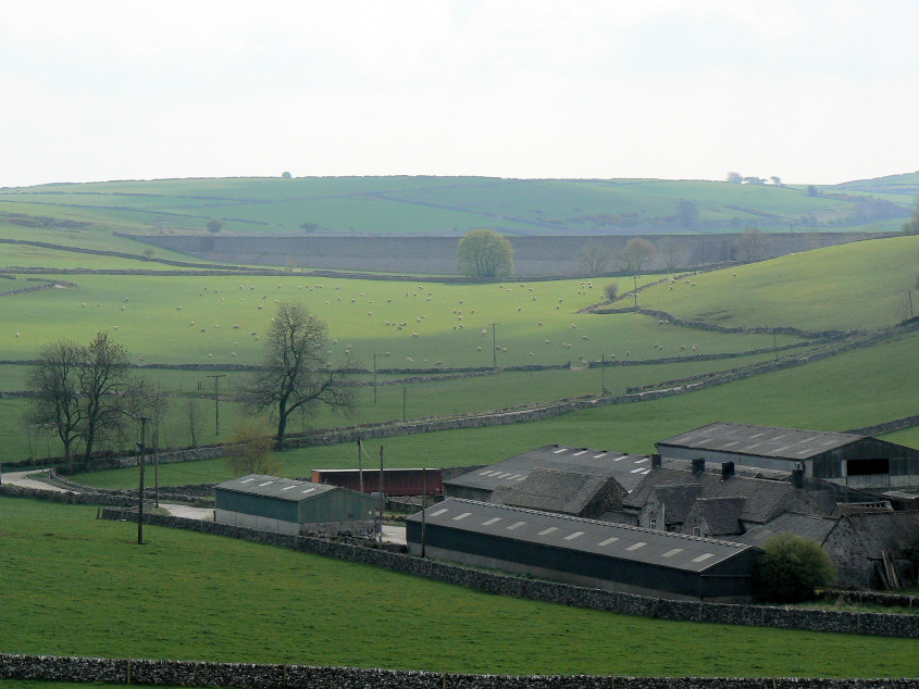
From Gotham Curve you can look back across an earlier section of the High Peak Trail to Nine Miles Plantation.
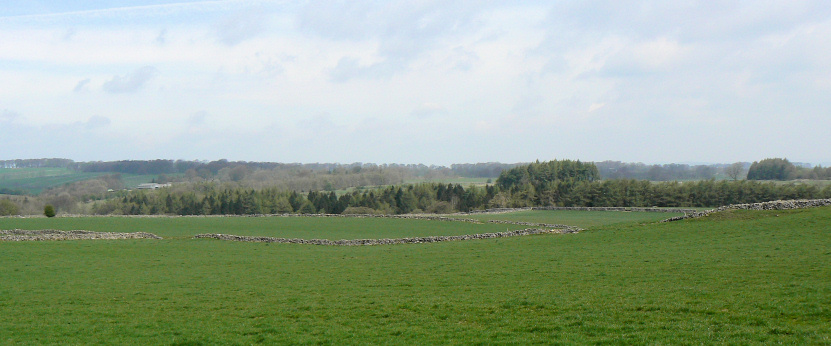
Looking across to Little Bolderstone Plantation from the High Peak Trail.
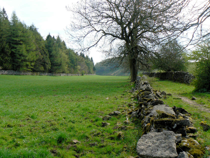
Heading towards Long Dale between Bolderstone (L) and Little Bolderstone (R) Plantations.
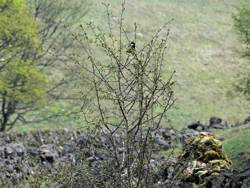
It was so peaceful as I followed the path between the two plantations that the birds could be both heard and seen.
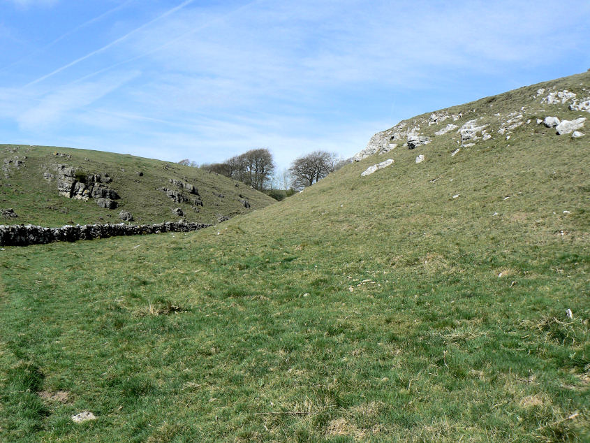
Long Dale, a typical dry dale.

At the point where another footpath comes into Long Dale I came across these stones which are inscribed with the words: "We meet to create memories and depart to cherish them."
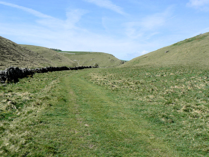
Looking back along Long Dale as it starts to widen.
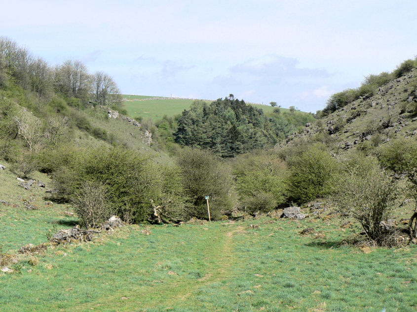
Gratton Dale.
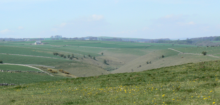
Looking across the top of Long Dale from near Mouldridge Grange.
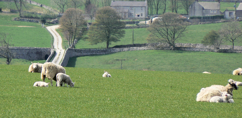
The lambs are starting to appear in the fields.
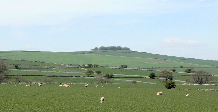
Walking along Mouldridge Lane is very pleasant as it is very quiet with some good views. Here looking up at Aleck Low.
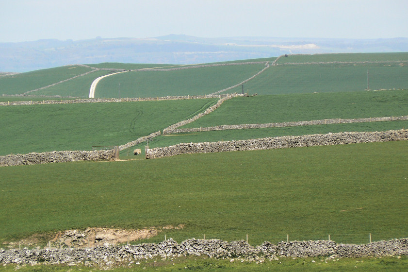
At the car park there is a small picnic area which is worth visiting for the extensive views it gives. Here looking towards Longstone Edge which is clearly defined by the white scar left by the quarrying.
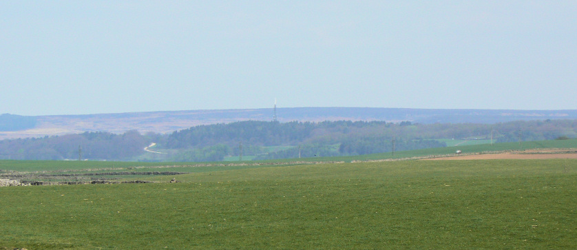
Looking across to Stanton Moor Plantation (the mast) with Beeley Moor behind.
All pictures copyright © Peak Walker 2006-2023